
The Swedish Hydrological Council (SHR) has appointed Hampus Nilsson's master thesis from LTH and Lund University's GIS Center to be the best master thesis within hydrology in 2017. Hampus began studying technical mathematics at LTH and completed his MSc thesis by developing a model that estimates cloudburst floods, their extent and water depths. Hampus is now a PhD student at the CEC where he studies how nature-based solutions, i.e. parks and ponds, can contribute with ecosystem services to mitigate floods, reduce urban heat island effects while at the same time improving recreational possibilities and aesthetic values in a city.
– Hampus's master thesis is based on the latest research on how water is distributed over surfaces. He used his technical and mathematical skills to set up a model describing a complete precipitation process, says Hampus supervisor Andreas Persson, from the Department of Natural Geography and Ecosystem Analysis and Lund University's GIS Center.
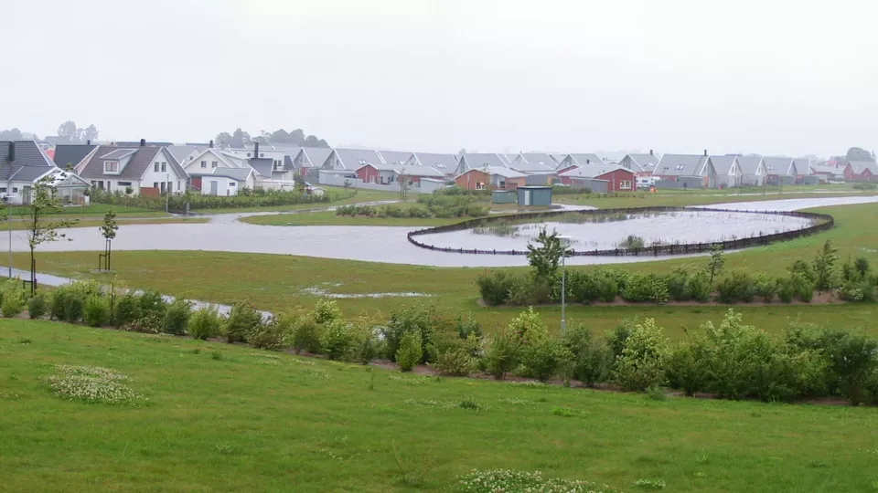
With this GIS model, developed by Hampus, it becomes possible to quantify how much green roofs, swales and stormwater drains can reduce the flood impact.
– It's great that I now can continue my previous work with a multidisciplinary doctoral student position where I have the opportunity to develop new methods that can be used in urban planning, says Hampus Nilsson.
Hampus Nilsson's master thesis on lup.lub.lu.se:
A dynamic and spatially distributed rainfall runoff model – Developing a model for overland flow in GIS, based on a multiple flow direction algorithm